Archivists in Cornwall have revealed a new (old!) map of Falmouth which was drawn by George Withiell in 1690. Last seen by the public in the 1880’s, the map was found in a private collection and has been donated to the Cornwall Record Office for display.
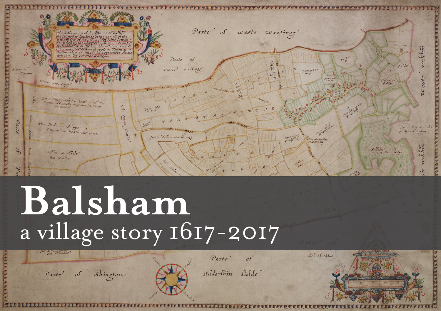
The Killigrew family of Mylor commissioned the map, called ‘A True Map of all Sir Peter Killigrew’s Lane in the Parish of Mylor and part of Budock Lands’, to show the land they owned. Money and property was the reason why Thomas Langdon was employed by London Charterhouse in 1617. However, Langdon was a surveyor by trade, part of a noteworthy, knowledgeable group of scholars. In contrast, Withiell was a philomath who mapped areas around Penryn and Holsworthy. A philomath is defined as a seeker of knowledge, facts and lover of learning, largely in the areas of humanities and maybe a specialist in one field.
Perhaps the map team are destined to be philomaths! We’ll let you know if we find anything exciting on our research into the village archives.
http://www.bbc.co.uk/news/uk-england-cornwall-35443760?SThisFB%3FSThisFB
