Home Straight

By now all our work which has been gathered over the last 4 years should, in theory, be complete. The task has been an enormous learning curve.  Any material we have been unable to use will be safely kept.

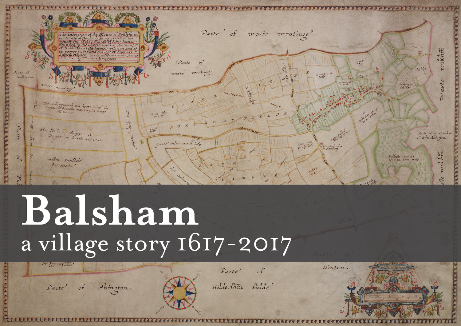
The bundles of papers, pictures and maps are now on a memory stick, ready for editing. Modern imagery has confirmed that the boundaries and layout of the village have changed very little since Thomas Langdon produced his map for Charterhouse in 1617. 

It is the stories of the people and events which have happened that have made this into a fascinating adventure.

Choosing the Maps

The task of which  maps to include in the book is underway.  Using modern technology means comparisons can be made between early maps and modern maps.  The parish and some field boundaries have changed very little, however, the buildings within the village have certainly increased.

As we assemble the book, difficult decisions will have to be made over what the final content will be.

Valuation Day 22nd April 2017

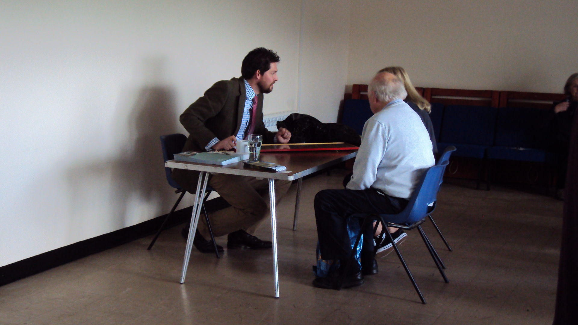
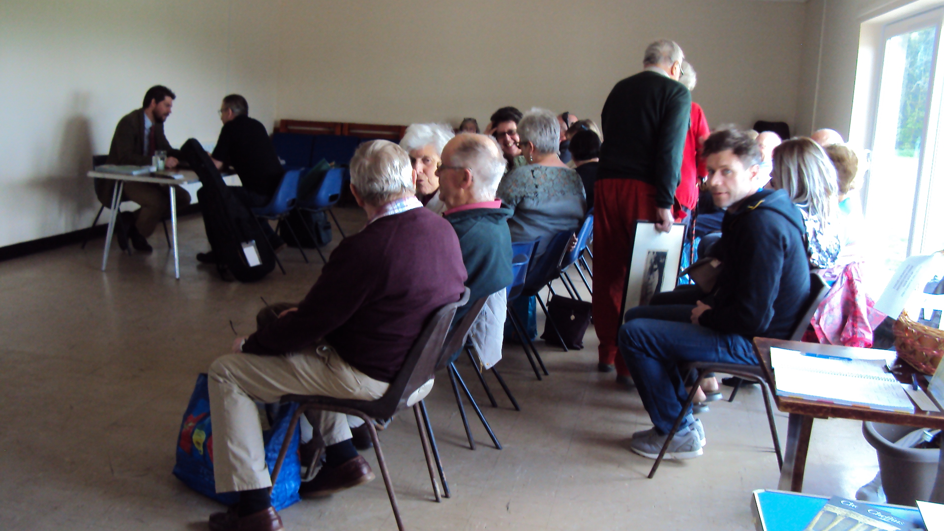
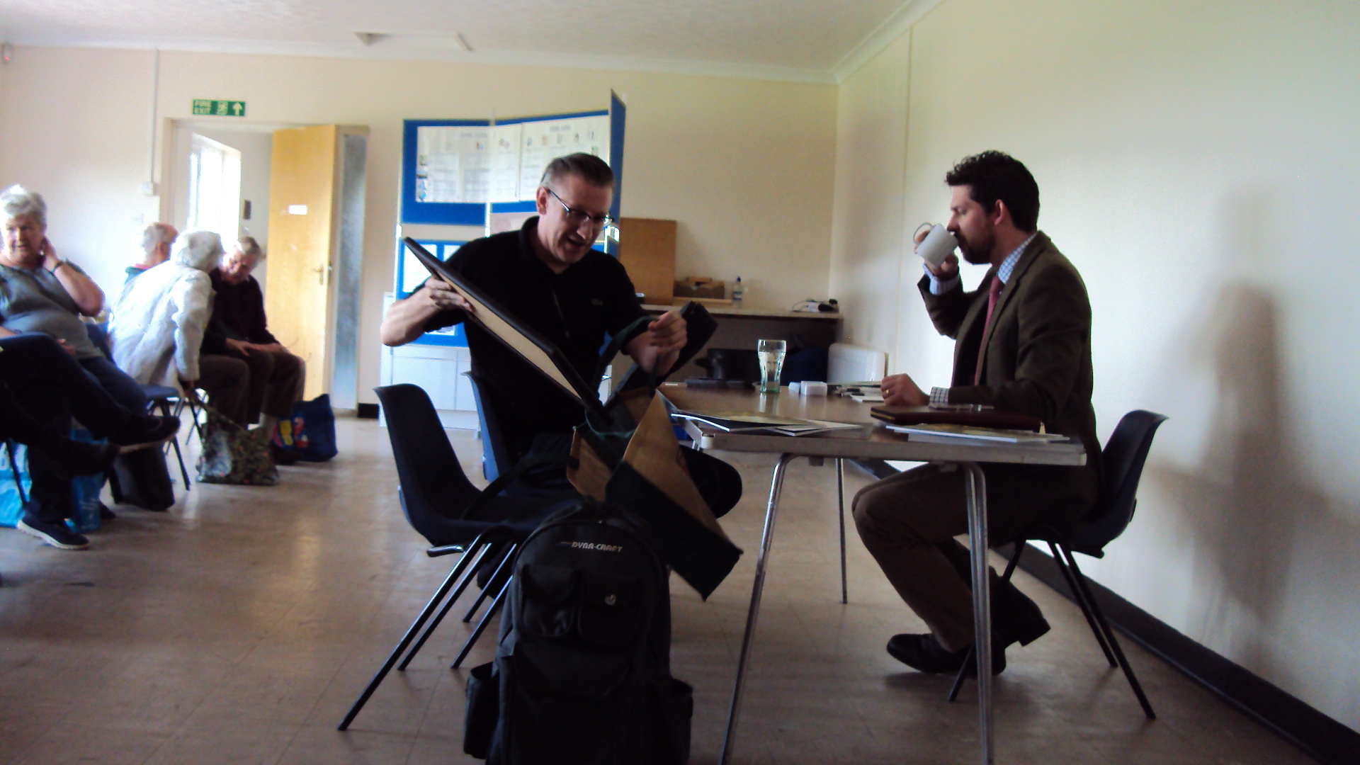
Already a queue had formed as the doors opened at 2.00pm and continued throughout the afternoon until closing time at 5.00pm.

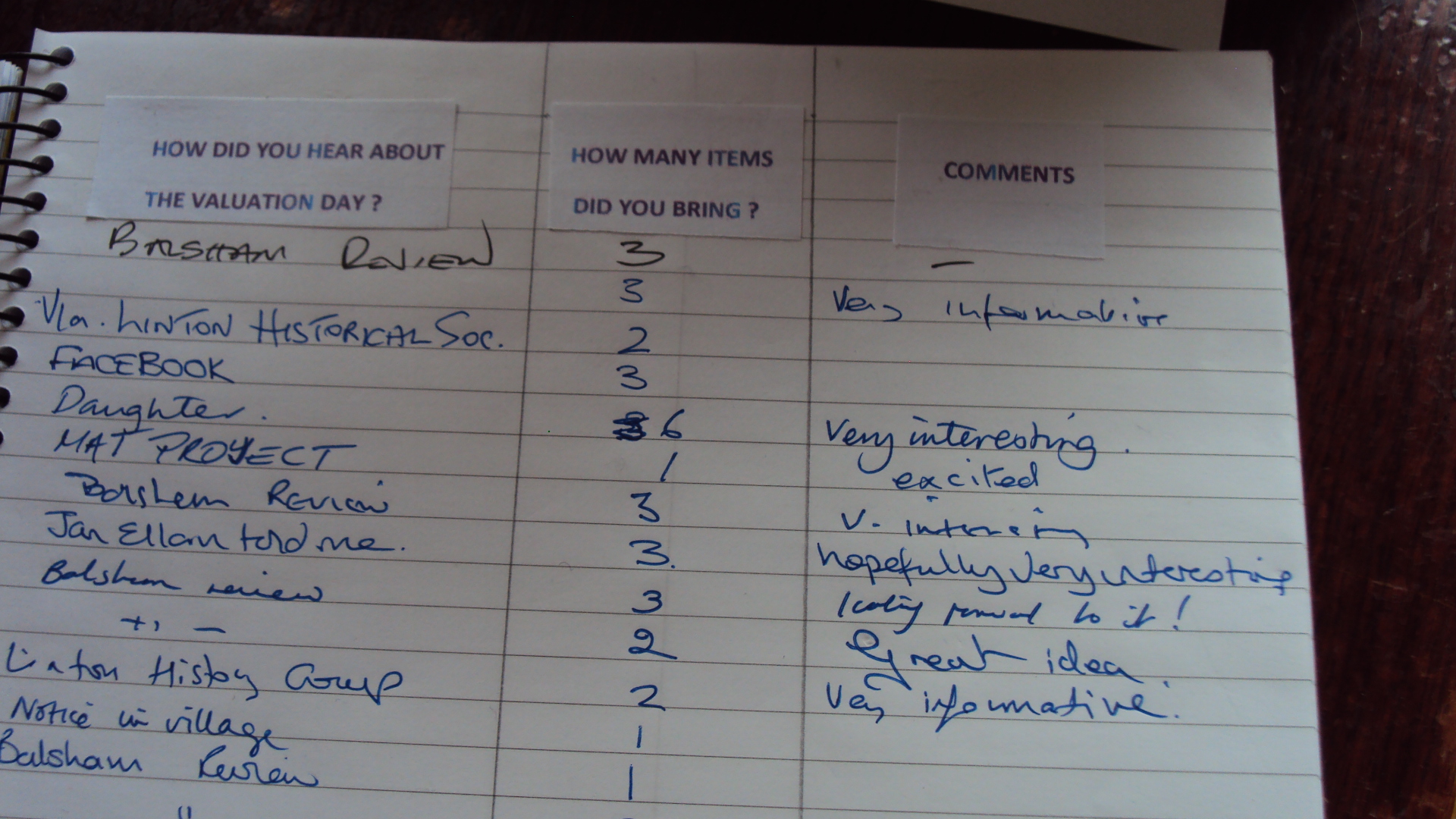
In total 76 items were brought along for valuation. Martin Millard, Cheffins Director of Fine Arts proved very helpful and knowledgeable, and everyone went away very pleased.

As far as we know, there were no life changing valuations during the afternoon; if there was it was kept very quiet!

We are grateful to the Parish Council for allowing us to use the Pavilion, to Cheffins and to everyone who helped to make the afternoon a success.

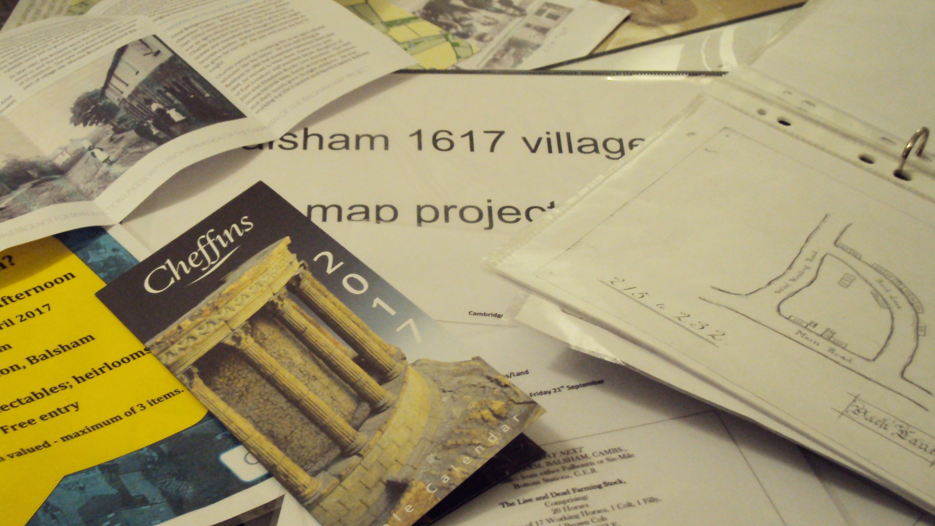
Below are a few photos from the event.


First look at our book!

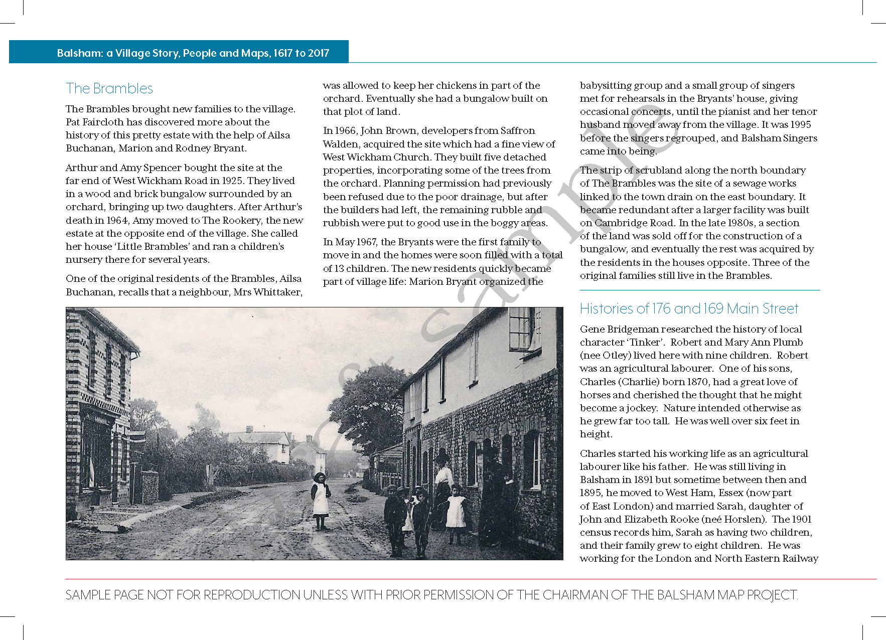
We are delighted to reveal two pages from our book. We put these together to show you how our content is coming along and what we anticipate the book will look like. You can pick up a printed copy at our Valuation Day on 22nd April. If you would like a copy for your place of work, a community group or library, get in touch, we'd love to hear from you.


One page from our book showing a photo from the archives

One page from our book showing a photo from the archives

Second page from our book showing one of the maps 

Second page from our book showing one of the maps 

It's back! The Great Balsham Boundary Walk

Lots of routes suitable for all ages and there's tea and cake too!

Great Balsham Boundary Walk 2017

Sunday 10th September from 10.00 am

Walk (or even run!) around all or just part of our Parish Boundary on public paths, Fleam Dyke, Roman Road and with special permitted access to private land.

START/FINISH at the Church Institute, Balsham on Church Lane. 

  • Refreshments  
  • Free parking
  • Dogs on leads welcome

Here are a few photos from our event last year to inspire you.


Property and Prices

Like many villages, Balsham has seen an increase in development over the years, with the inevitable rise in prices. Sales particulars show the vast different between 'then and now'.

In February 1889,  3 cottages, with shed, stable and a range of out buildings changed hands for £65.  

In 1903 a property abutting the High Street, plus a piece of land in 'Broadfield' measuring 3R 14P was let for an annual rent of £13. 12s.

In the 1960's and 1970's quite a lot of development took place. A 2-bed-roomed semi-detached bungalow would cost around £3,150; a 3 bed-roomed semi-detached house was selling for around £4,750. Detached  properties commanded a slightly higher price.  

The original 1617 map shows us who rented or owned the land where some of these modern day developments now stand. Old House Road shows Wm and Thos Simon were there 400 years ago. Similarly, Trinity Close is on the site of a former Manor House; Sleford Close on land occupied by Ric Marshe.  Dolls Close by Edm. Marshe and Princes Close by Jo Haylock.

Further developments are planned for 2017 on land previously occupied by Ric Marshe and  Ro Cranfield, also on part of a site shown as Hornygate.  What prices will they fetch?


Arrival at 2017

The layout of our book is taking shape as we near completion of our project. So what has been discovered of the past four years?

It is surprising how much has been written about our village in days gone by.  Census records have come up with surprising facts and figures.  Newspaper reports contain interesting stories of our predecessors, also details of when houses and land were bought and sold.

Modern day cartographers are able to overlay old maps onto modern maps to show if boundaries have changed. Basically the layout of our village remains the same.  The original map is extremely accurate.

So what of the man who was commissioned by The Governors of Charterhouse to compile the original map in 1617?  Thomas Langdon was a Tudor cartographer and Oxford University alumni.   Five sheets comprise the map (some damaged). They are beautifully decorated.  Thomas was paid twenty pounds for his work.

The Big Sort Out!

As we reach the end of 2016 the vast amount of material gathered over the last few years needs to be sorted into an appropriate and manageable order.  This will take priority in the New Year. There are so many interesting articles coming in, the task will not be easy.

Early in the New Year we celebrate Balsham Plough Monday on 9th January 2017.  For anyone unfamiliar, Plough Monday is traditionally the first Monday after Epiphany or Twelfth Night.

The Balsham Ploughmen are a group of men who live in, or are connected to the village and they raise money annually for charities in Balsham by pulling an old-fashioned plough around the village, accompanied by the Cambridge Morris Men.  This year they will start at 5.30pm at West Wickham Road/Rosy Green end of the village, finishing at The Bell approximately 10.0pm.  For full information on their activities contact balshamploughmen@aol.co.uk 

WISHING EVERYONE A PEACEFUL CHRISTMAS AND HAPPY AND HEALTHY NEW YEAR.


Hedgerows and Boundaries

The old hedgerow boundaries were well documented at the start of our project.  As you cross the A11 road towards Balsham the 30 metre wide belt of beech trees with hawthorn hedges planted by Charterhouse of London, come into view.;  at Dotterel, records show that migrating 'Dotterel' birds roosted here.

The west and east hedgerows lining Fox Road contain, hawthorn, blackthorn, elder, rose, ash and apple. Similar species occur to the north east of the village. In recent times new developments have incorporated the same hedgerow species with the addition of Scots pine, oak and holly. During the last 10 years a beech and hornbeam hedge has been newly planted and provided another boundary.

The hedgerows continue to provide borders and boundaries between neighbours and farmland, which provide a vital wildlife haven.

Chasing Windmills

It is sometime since our Exhibition which formed part of the Balsham Feast Day.  Alongside the maps were displayed old photographs and parish records, plus a special feature about the Balsham Boys who joined up in WWI.  There was a steady of stream of visitors throughout the day.

One lesson learnt when looking at our maps has been to take note of the land  sizes as they exchanged owners.  This came in particularly useful when tracing one of two windmills in Linton Road, mentioned in a document dated 12th October 1753, which could easily have been lost and forgotten!


Balsham Feast Day 2nd July 2016

As Feast Day approaches preparations  are underway for our exhibition in the Church Institute from 10.00am to 5.00pm.

We have reached the 1960's when the new developments started to be built in the village. Come and see what a mortgage of £3 - £4,000 would buy!

There will be lots of other attractions taking place during the afternoon and evening, on and around the Recreation Ground.  Programmes for the event are on sale in Balsham Post Office for £2.

Wishing for warm and sunny weather on the day.

Forthcoming Display at the Balsham Feast Day

We are starting to arrange the layout for our book 'Balsham 1617-2017, a Village Story in Maps.' Once again we will be holding a small display of our work at the Balsham Feast Day, Saturday 2nd July 2016.

Come and see what was proposed in the 'Draft Village Plan' of 1972. issued by the then County Planning Officer, Cambridgeshire and Isle of Ely County Council.  Did it all come to fruition?

Pay us a visit, we will be in the Church Institute from 10 am, so you will have a chance to call in before the main event of the day opens on the Recreation Ground at mid-day.

Balsham 1617 - 2017 A Village Story in Maps

We have agreed on a title for our book.  'Balsham 1617 - 2017 A Village Story in Maps '.

A great deal has been written about the past, and, as we approach the final stages of the project we  sought  stories from people living in the village in more modern times.  Here are just a few :

 From a farmer in 1950, water from the deep well was pumped to the farmhouse and all the cottages every night, besides 60 cattle and 200 pigs. Electricity was not installed until 1958, mains water in 1975.

Once known as Oxcroft Lane as it led towards Oxcroft Farm, an old manor in the parish of West Wratting, the route took on greater importance from the C19th, when it replaced Fox Road as the more popular route from Walden to Newmarket.

The tall poplars planted by my parents and for so long in my life a landmark of home, visible for miles away, were felled this year.  The old iron estate fencing that I remember from  my childhood is long gone, as is the old gate into the orchard where the grass tennis court used to be.

When we first moved to Balsham in 1967 (two days before Christmas) it was a great delight to enjoy the country having  lived in London for 18 months in a basement flat.  The sun was shining into the house on our first Sunday morning was a real joy.


Poles, roods, perches, chains and acres

We have been transcribing the land measurements from the original 1617 map. So, what did one of these plots of land look like?  How big was it? How much for instance,  did Widow Lettice Marshe need to cultivate? She held 2 r (roods) 20 p (poles) + 19 a (acres) 1 r (rood) 36 p(poles) of arable land?

The only comparison we have in the village are the modern day allotments.  Therefore, we are  organising a 'Measuring Day',  just to see how much land Widow Marshe had to deal with.

We'll keep you posted.


16th February 2016

We are two years into our project and this year we will bring together all our information, and are seeking modern day contributions to bring the project up-to-date.  Through the centuries a great deal of information has been gathered from the  census, sales records and the maps themselves.

One building, a picture, painting or engraving that eludes us is, the large house which stood on the site of the present day May's Avenue. We believe this to be the home of Thomas Prince (Surgeon), the 1885 maps shows this to be 'nearly all  pulled down.'  Can you help?  Do you have a picture lurking in an old family album?